
Benjamin Alva Polley EBS CONTRIBUTOR
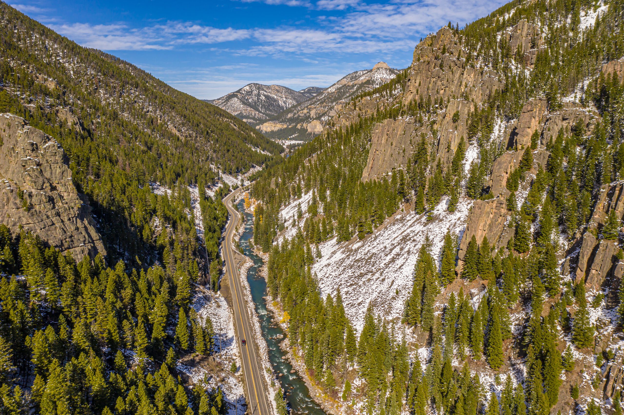
On March 31, 2022, the Montana Department of Environmental Quality received a petition to assess the middle segment of the Gallatin River to determine if recurrent nuisance algal blooms required a listing as an impaired water on Montana’s 303(d) list. The Upper Missouri Waterkeeper, Montana Trout Unlimited, Gallatin River Task Force, American Rivers and the Greater Yellowstone Coalition brought forth the petition, finding numerous algal blooms along the middle segment of the mainstem Gallatin, specifically between the boundary of Yellowstone National Park down to the Gallatin confluence with Spanish Creek.
The DEQ reviewed all relevant data and proposed to list the middle segment of the Gallatin River for excess algal blooms. Impaired streams require review and approval from the Environmental Protection Agency. On May 9, 2023, the EPA approved an official impairment designation due to excessive algae growth that affects aquatic life and recreation.

“This listing brings more attention and resources to determining a path to improvement,” said Gabrielle Metzner, a water quality monitoring scientist with the DEQ at a presentation on April 22 put on by the Gallatin River Task Force. The presentation focused on updating the public about the river’s impaired status.
The DEQ is in the second year of a six-year study to understand the causes and evaluate sources of excessive algal growth. As a part of this study, they aim to implement plans outlining strategies to improve water quality.
The study’s objectives
The DEQ is extensively monitoring different sources throughout the study area and collaborating with local partners like the Gallatin River Task Force to focus on the 39-mile stretch, or middle segment of the Gallatin, to find sources causing the algal bloom. So far, they have 34 monitoring sites. At some sites, sampling is being conducted across all seasons and hours of the day to pinpoint specific places along the river where solutions might be applied.
Many variables influence algal growth, including changes in light availability, water temperature, stream flow, groundwater inputs, nutrients from natural and human landscapes and interactions with aquatic plants and animals.
“Numerous factors can contribute to algae growth, including groundwater interactions that bring nutrients and different water temperatures. Spring rain events can scour or remove the algae from rocks. Still, they can also add nutrients to the riverine system through the addition of soil from the landscape, which is high in phosphorous,” said Christy Meredith, water quality scientist. “Nitrogen is found naturally in soils, but a significant nitrogen source is often from manmade sources such as septic systems.”
The study considers multiple drivers of algae growth and pollutant types and will apply applicable water quality standards in future assessments. It also looks at smaller water body segments to capture changes throughout and to assess sources of pollutants. Over the last decade, nutrients, such as nitrogen and phosphorous, were generally below the standard threshold.
“When discussing excessive algae growth, we usually see excessive nutrients. For this segment of Gallatin River, that isn’t the case,” said Metzner. “In our assessment process, we didn’t see significant nutrient exceedances over the recommended thresholds to protect beneficial uses and what we would expect to limit excess algae growth.”

To understand what’s going on, the DEQ creates water quality models that help quantify sources of nutrients and determine how nutrients and other factors interact to influence algae growth. The models are used to develop Total Maximum Daily Loads, which are essentially a pollution diet that identifies the reductions needed to achieve water quality standards. This study will help DEQ understand the causes of excess algal growth.
“DEQ presents the math quantifying sources of pollution, but we also outline possible methods to achieve reductions,” said DEQ water quality scientist Troy Clift. “We like to say it’s the map and the path within the document.”
A TMDL document is a data-driven effort led by the DEQ that identifies point (permitted, “end of pipe”) and nonpoint (dispersed) sources of pollution. It outlines the reductions necessary to fully achieve beneficial uses, such as fishing, swimming and healthy aquatic life.
Last year’s findings
The first sampling year of the study was 2023, and the DEQ’s water quality monitoring team observed high water flows, frequent storms with large pulses of sediment, high turbidity and low algae growth compared to previous years. These storms created pulses of sediment and nutrients throughout the Gallatin River, with the highest pulses observed just upstream and downstream of the confluence with the West Fork of the Gallatin River, as well as downstream of Swan Creek—the highest concentrations of nutrients were observed during May with run-off. The team also saw higher concentrations of soluble reactive phosphorus near the border of Yellowstone National Park and downstream of Swan Creek, where geological maps indicated natural sources of phosphorous.
Community partnerships
When it comes to local river health, the community can be most involved in watershed planning and restoration. The primary funding source is section 319 of the Clean Water Act, which the EPA distributes to states and tribal programs. The EPA requires a watershed restoration plan for local communities to tap into that funding.
“Community stakeholders can use that information from this study to develop a Watershed Restoration Plan, allowing them to apply for funds to address pollution issues with on-the-ground projects,” said Torie Haraldson, a Water Quality Specialist with the Nonpoint Source & Wetlands Section.
A watershed restoration plan is a community-driven effort often led by a local watershed group such as the Gallatin River Task Force in Big Sky. Watershed groups have local knowledge about particular priorities, challenges, and community opportunities. Watershed Restoration Plans extend on the findings of TMDLs and put them into action with additional detail for specific projects and a local roadmap for water quality improvement.
The Gallatin River Task Force is already working on projects to improve the watershed, including supporting community-wide efforts to install new septic systems and connecting them to a centralized wastewater treatment plant. They are supporting an initiative on the local ballot for Firelight Meadows to create a new water and sewer district, allowing access to funding. This will reduce air and water pollution by 900 pounds per year. They are also trying to reduce sediment erosion into the rivers and pinpointing where this is occurring the most.
Ultimately, the Gallatin River Task Force is hoping for a federal designation of the Gallatin River as Wild and Scenic. For this to happen, they hope for a hearing at the Senate Committee of Energy and Natural Resources this spring.