EBS STAFF
Spring weather has finally arrived in southwest Montana and the deeper than usual snowpack in the southern Beaverhead, Madison and Gallatin counties has led experts to expect stream flows nearly twice as high as usual.
Forecasts for those areas show an expected streamflow of between 120% to 180% of normal, according to the Natural Resources Conservation Service’s monthly water supply outlook report.
“Many of those forecasts are the highest or second highest in 10 years and comparable to 2018 and 2014,” NRCS Water Supply Specialist Eric Larson stated in the release.
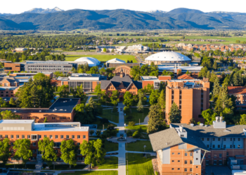
A snowy March and early April pushed the local snowpack around Bozeman and Big Sky to historic levels, according to data from the National Weather Service in Great Falls. As of April 4, 125.3 inches of snow had fallen on the Montana State University campus, Cody Moldan, lead meteorologist with NWS in Great Falls, told Explore Big Sky.
With those numbers, this past winter was the third snowiest at the location. The only years with more snowfall were 1997 (136.9 inches) and 2018 (126.2 inches).
“It’s been a pretty snowy season for southwest Montana, especially for the mountains,” Moldan said. “It was a good season for all the ski resorts and for the reservoirs, too.”
Localities have started preparing for the flooding that’s expected to accompany the spring runoff. Officials in Park County organized a sandbag filling event in Livingston, as the city and county hope to avoid flooding seen last summer after a rain-on-snow event led to a historic flooding that destroyed roads, houses and led portions of the city to evacuate.
Gallatin County officials sent out a press release last week encouraging residents to prepare for potential flooding. People can best prepare for high runoff by checking with their insurance company about flood coverage, and by removing any obstructions to ditches, culverts and other waterways on properties to help keep water flowing through.


