By Ciara Wolfe BSCO Executive Director
The Lower Beehive Basin U.S. Forest Service trail is the lesser-known access trail to the popular Beehive Basin Trail. This intermediate level dirt trail ascends 745 feet over the course of its 1.4 miles before connecting with the Beehive Basin Trail, which leads directly into the Lee Metcalf Wilderness area and up to the basin’s shallow lake.
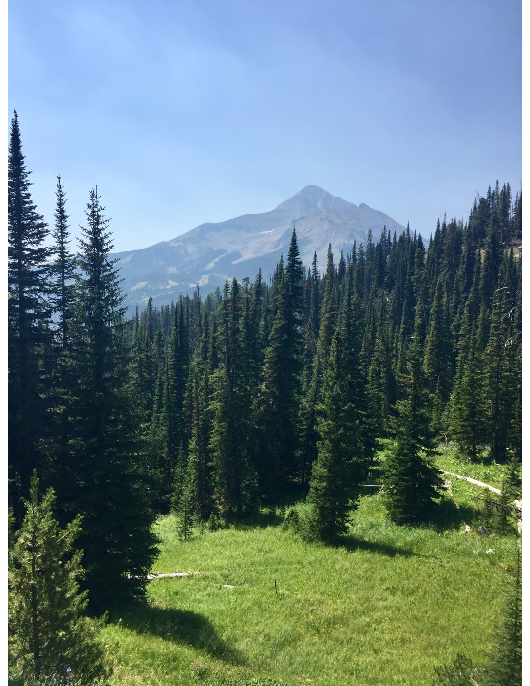
The trail is primitive due to minimal usage, but provides expansive views of Lone Peak and an abundance of wildflowers. The Lower Beehive Basin trailhead is also within walking distance of the Mountain Village area of Big Sky Resort.
For those looking for a longer, more difficult hike than the 7.1-mile Beehive Basin trail, Lower Beehive Basin trail also serves as an extension by adding 3 miles round-trip to the trek.
The trail starts approximately 100 yards past the main entrance of Big Sky Resort, immediately before the fire station. The trail begins across a grassy field a couple hundred feet beyond a large pullout on Highway 64.
The pullout has a brown USFS sign pointing to the Lower Beehive Basin trailhead and denoting the additional 3 miles it adds to the Beehive Basin trail. The primitive trail climbs up a shale ridgeline crossing several small bridges and one high wooden bridge across a steep ravine. Once you have crested the ridgeline, be sure to turn around and take in the impressive view of Lone Peak. Continue to follow Beehive Basin road in and out of the forest until you reach the Upper Beehive Basin Trail.
This portion of the trail crosses two small private roads, one gated and one dirt. Cross in front of the gate, and upon reaching the dirt road, walk approximately 50 feet along the road before dropping back onto the trail and into a steep forested ravine. The trail can be faint in sections, however if you look ahead you will always see where an evident trail picks back up.
The trail ends across the road from the Beehive Basin Trail, where an additional 3.3 miles one-way culminates at Beehive Basin and lake. Please note that where this trail ends, a private trail with public access called the Summit View Nature Trail begins. This trail follows along Beehive Creek into the Summit View subdivision. When returning make sure that you stay on the correct trail as the Summit View Nature Trail does not end in the same place.
Please be bear aware while enjoying this trail that will not only extend your Beehive Basin hike, but provide beautiful views of the surrounding landscape and wildflowers. Unlike the Upper Beehive Basin trail, you will also most likely have it all to yourself.
For more information about Big Sky’s Parks, Trails & Recreation Programs visit bscomt.org. The Big Sky Community Organization is a local non-profit that connects people to recreational opportunities by acquiring, promoting and preserving sustainable places and programs for all.
SIDEBAR: Trails Stats
Distance: 2.8 miles roundtrip
Difficulty: intermediate
Elevation: 7,538 feet (trailhead)
Surface: dirt
Uses: hikers, runners, horses
Directions: Turning off Highway 191 onto Lone Mountain Trail, follow the signs 9 miles to Big Sky Resort. Park in the dirt pull out 100 yards past the entrance to Big Sky Resort. The trailhead is across the grassy field in the trees.


