By Paul Swenson EBS COLUMNIST
I know what you’re thinking, that this article is going to be about what this idiom is intended for, like traffic, trash, water, weather or a whole host of other aspects of our region that gets everyone worked up. By the way, an idiom is a phrase or group of words that has been given a meaning not deducible by the individual words, but defined by common use. Alas, this article is going to be about actually seeing red and of course if you know me by now, it involves the natural world.
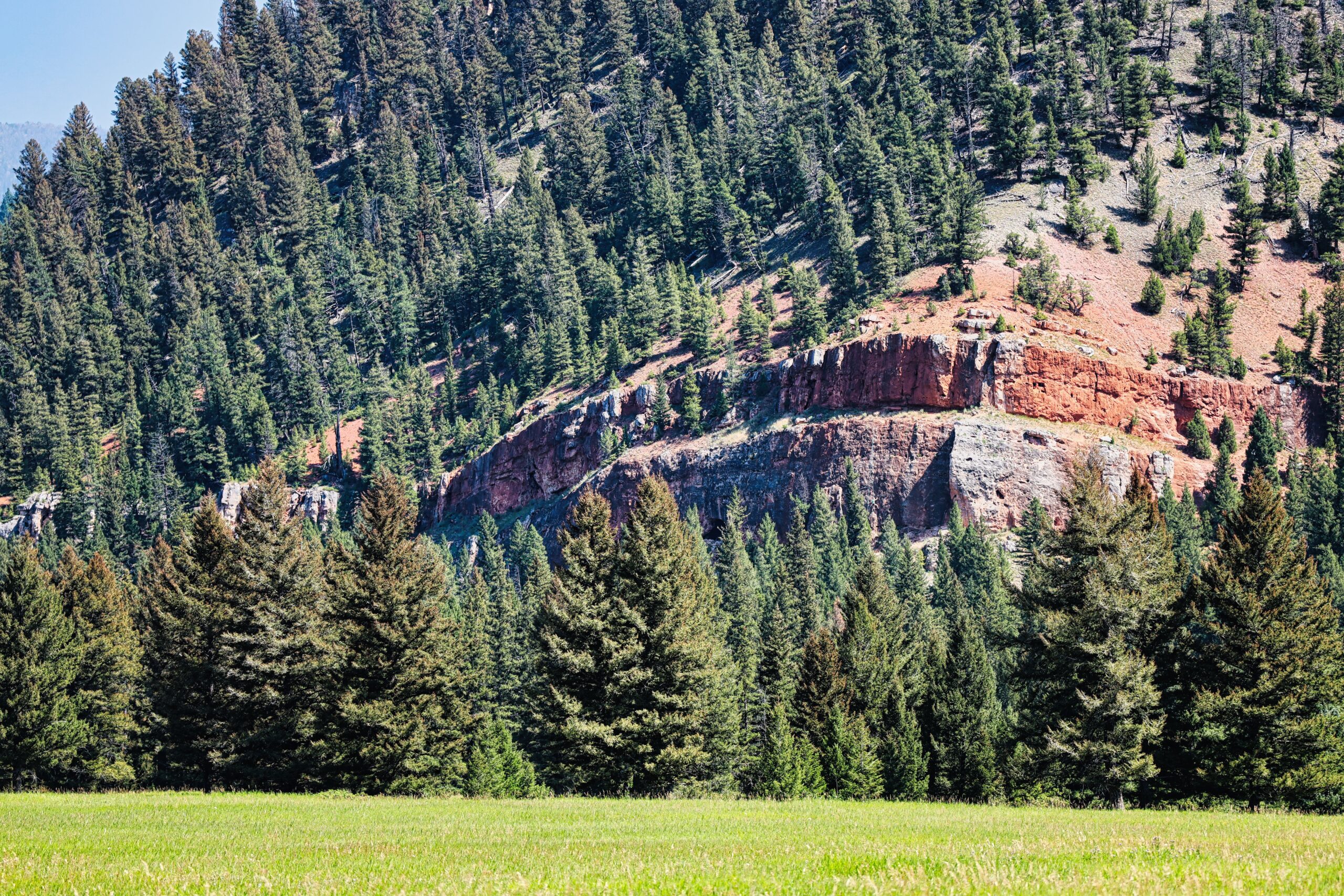
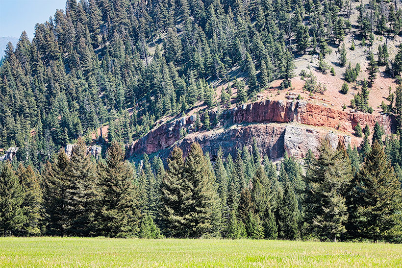
Let’s start with the obvious case of seeing red in our region: Red Cliff. Can’t get much more direct than that. So the question that needs to be asked, “Why is Red Cliff red?”


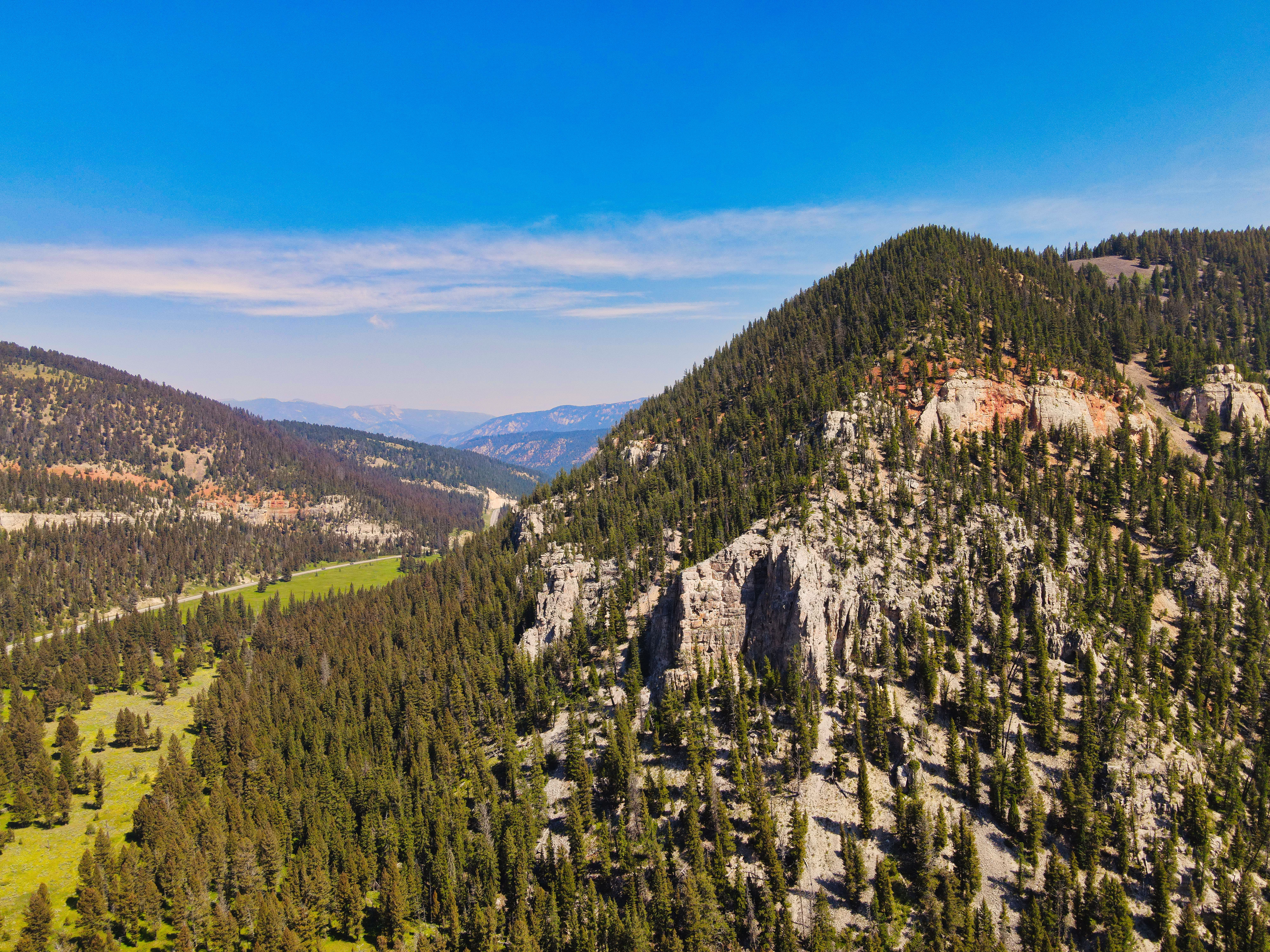
First off are the cliffs at the campground and all along the canyon walls to the south. They are composed of Mississippian age (325 million years ago), and older, limestones that were deposited in a shallow sea that covered this part of the world. At that time, proto-Montana was located at the equator and under water. When looking at the fossil assemblages from these limestones, it can be deduced that these rocks represent a type of coral reef ecosystem.
As is the case many times in Earth’s history, given millions of years of time, sea level began to recede here, exposing the limestone reefs to the elements above sea level. As fresh water from rain, rivers and eventually ground water interacted with the limestone, it dissolved it due to the carbonic acid found in the water’s chemistry. Some of this dissolution of the limestones led to caves and pockets that one can see in the present cliff face at Red Cliff.

After many years, the sea began to encroach on the eroded and exposed limestone as sea level started to rise. Eroded sediment from the raised landmass to the east and south began to be deposited as mud on top of the limestone. These sediments were rich in iron oxide minerals giving them a rusty red appearance. These muds would become a shale in the basal unit of the Amsden formation, which is the source of the red in the hillside above the cliffs.
As you drive to Red Cliff campground to go hiking, rock climbing or camping, notice the road cut from ten years ago. The color of the blasted rock was a light cream color, not red, yet every time it rains, a little red from the Amsden formation is washed down the cliff face. So given lots of time and lots of erosion, we now know that Red Cliff’s red cliff is caused by the slope above it, not the cliff itself.
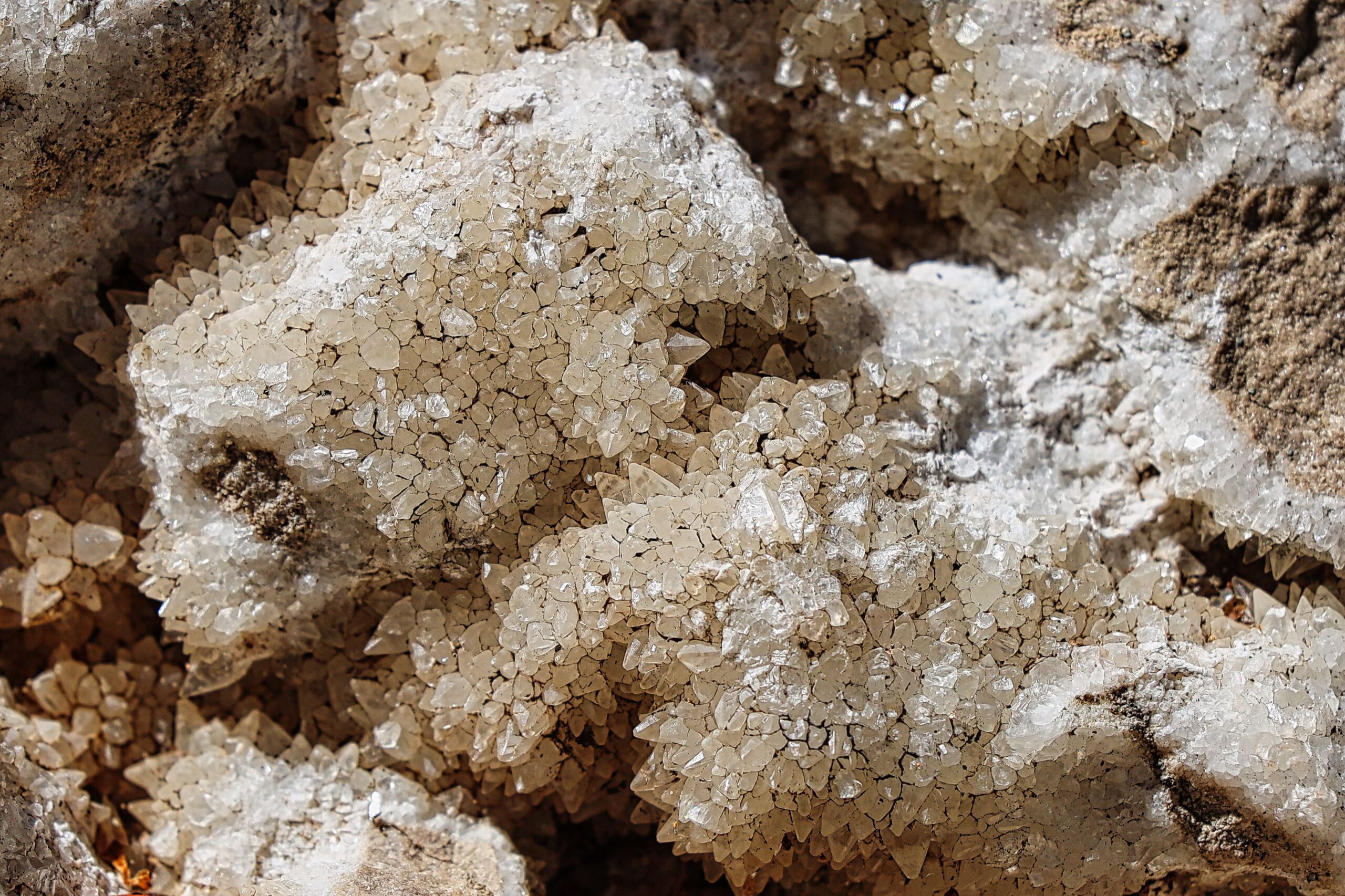
Another fascinating part of this story is what has happened inside the caverns, holes, solution pits and vugs, that were left behind as the limestone got buried. The ground water that was dissolving the limestone had an excess of calcium carbonate (CaC03), the major constituent of limestone. So over time the CaCO3 came out of solution to form calcite crystals.


When I was a kid in the “long, long time ago days’” I would climb up into the cave at Red Cliff then dig around in the hillside outside the cave and find calcite crystals. Most of the ones in the cave were attached to the wall or floor, some as big as 18 inches, and it was common courtesy practiced by everyone to leave them there for others to enjoy. Then in the early 1970s a collector decided to try and remove the large crystals anchored in the walls and dynamited the whole thing. Since calcite is very brittle, it destroyed everything. A very sad day for all of us, perhaps making us see red.
Calcite itself is a very interesting crystal. If you find a very clear piece, sometimes referred to as Iceland Spar, it displays an optical property called birefringence. That’s a big word from optical physics, but what it means is that as a ray of light enters the crystal, it is split into a fast and slow speed ray. Therefore a single image going into the crystal will look like two images viewed from the other side. This property found a use in World War II being used in bombardier sights. Since the angle of this split is well known, bombers would use the two images to “precisely” release their munitions.
There are several Iceland Spar quarries in the Bangtail Range northeast of Bozeman that provided optical quality sights during the war.
Now as you drive south, look for the red cliffs that indicate the shales and limestones of this time period. And perhaps you will see red in a good way.
Paul Swenson has been living in and around the Big Sky area since 1966. He is a retired science teacher, fishing guide, Yellowstone guide and naturalist. Also an artist and photographer, Swenson focuses on the intricacies found in nature.


