Dave Zinn EBS CONTRIBUTOR
Editor’s note: The Gallatin National Forest Avalanche Center forecasts for the mountains in Southwest Montana from the Bridger Range through Big Sky, West Yellowstone and Cooke City, as well as the Mountains in Island Park, Idaho. Visit avalanche.org for regional conditions across the rest of the U.S.
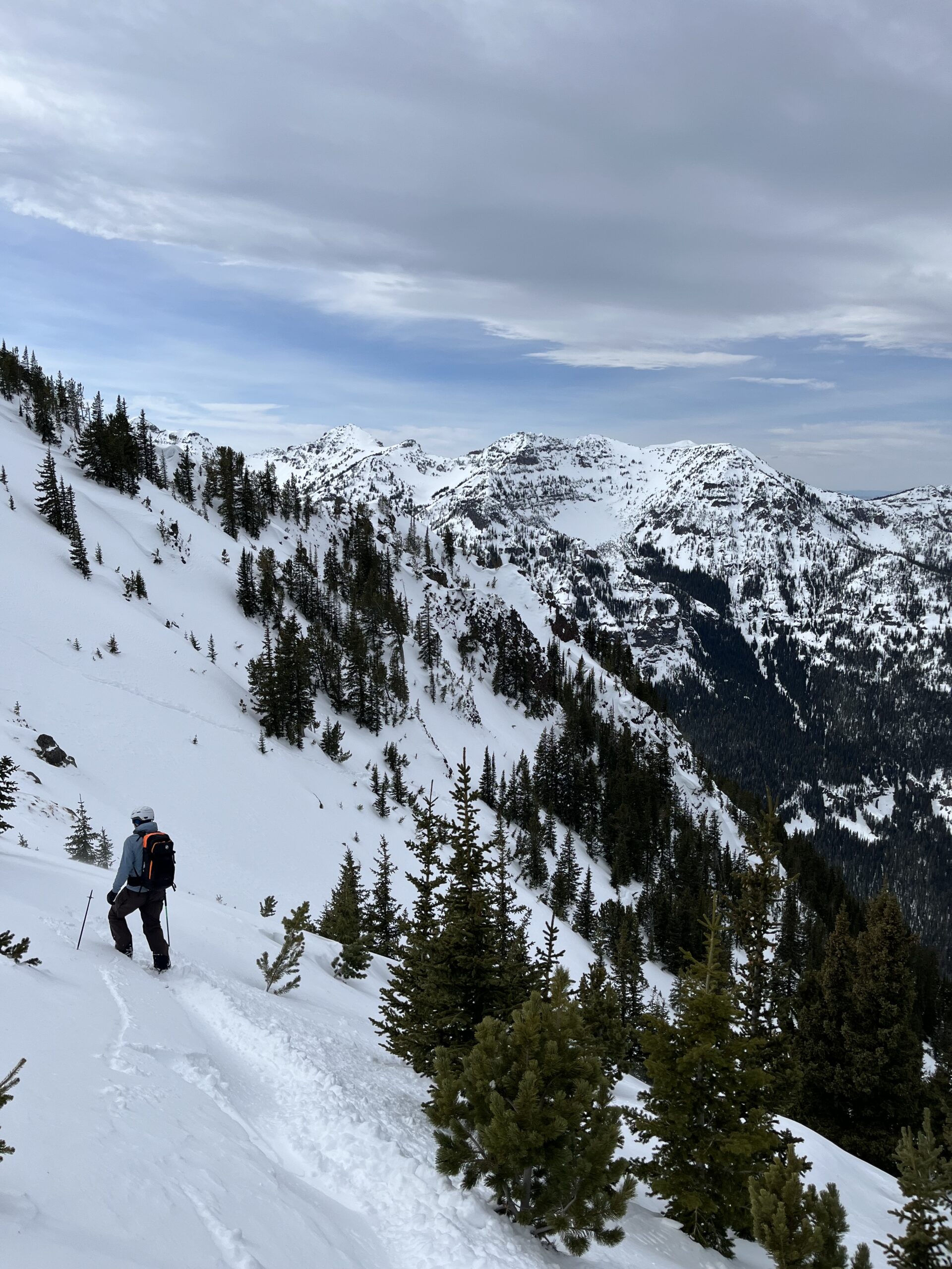
I know… I know… The Gallatin National Forest Avalanche Center forecasters are always telling you why what you want to do (skiing and riding steep backcountry terrain in deep powder) might not be the safest choice. We go into the field, seek out snowpack structures and terrain features that could result in avalanches, and report our findings. Across the Rocky Mountains, the snowpack often holds critical flaws—weak layers in the “layer cake” structure that can fail, sending avalanches tumbling down mountainsides, into trees, off cliffs and burying backcountry enthusiasts beneath snow. Our mission is to communicate these risks and offer guidance on how to enjoy the mountains safely.

A crucial concept to understand is the importance of time scale–from hours to years. Avalanche safety often relies on assessing recent conditions—weather changes, snowfall and avalanche activity within the past 24 hours. While this short-term focus is vital, we must consider the broader time scale, encompassing the entire season’s conditions.
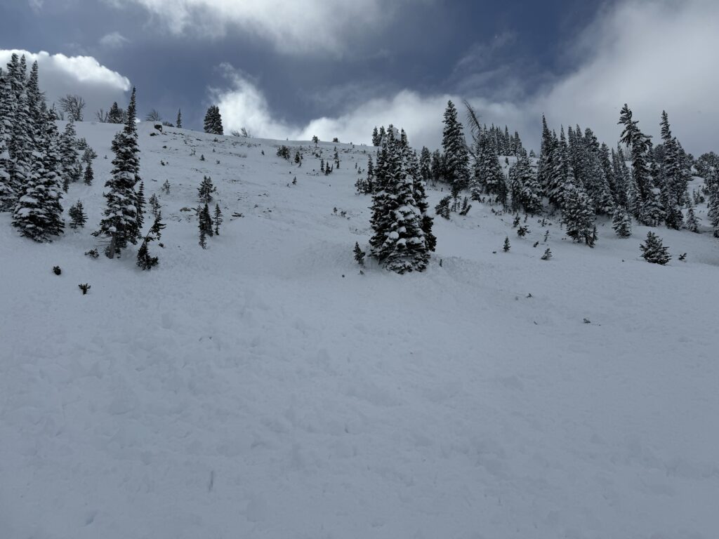
The 2023-24 season is burned into my mind. Last season’s unstable and unpredictable snowpack surprised all of us at various times throughout the winter. We saw slopes avalanche that we had not seen slide before, sometimes multiple times during the season. While collecting field data and assessing conditions, each of us triggered avalanches, some quite large, many from long distances away. I triggered a slope near Big Sky from nearly a thousand feet away when the weak layer in the flat meadow I where I was snowmobiling collapsed and propagated like a string of dominos until it reached a pitch steep enough to avalanche. As a forecast team, we pulled out all the stops to communicate the persistent danger. With outreach, good decision-making from backcountry travelers and a bit of luck, there were no avalanche fatalities within the GNFAC forecast area (there was one fatality in Montana, and sixteen nationally during the 2023-24 season).
In contrast, this season has brought stronger, more consistent snowpack conditions. While not risk-free, it’s been more predictable, allowing for greater confidence in slope-scale assessments, such as snow pits and stability tests. Don’t take this too far and become complacent. Changing weather—such as snow and wind—can quickly elevate danger levels and the likelihood of triggering avalanches. Decision-making must balance both the big-picture trends and immediate conditions to ensure safety.
Unfortunately, not all the zones within the forecast area boundaries are equally predictable. A weaker snowpack exists in the Lionhead area near West Yellowstone and the Southern Madison and Southern Gallatin Ranges South of Big Sky. Insidious layers of sugary facets and feathery surface hoar buried within the snowpack result in persistent instability and large avalanches breaking several feet deep widely across slopes days after the last snowfall. Outside these areas, the danger is more directly tied to snowfall and wind.
Future years will inevitably bring greater risks, but this season’s stability offers an opportunity to make informed, confident choices based on careful observations. The only surefire way to avoid avalanches is to avoid slopes steeper than 30 degrees, but by understanding and adjusting to varying time scales, recreational users and professionals can more safely navigate the complexities of avalanche terrain. Stay informed by following our daily avalanche forecasts at mtavalanche.com.
Dave Zinn is an avalanche forecaster for the Gallatin National Forest Avalanche Center.