How Montana’s winter fared, by the numbers
By Benjamin Alva Polley EBS COLUMNIST
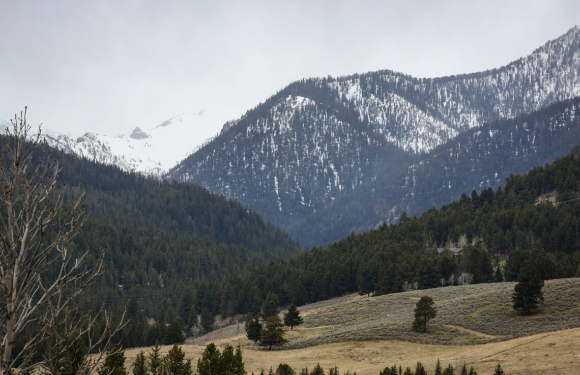
The winter of 2023-24, a season that will be etched in Montana’s weather history for its unprecedented conditions, held one of the lower snowpacks on record. In some instances, it is the lowest Montana has ever experienced since data was first collected in the 1960s and 70s for most locations. This winter was characterized by unusual dryness, warmth and sunshine across the state, leading to a notable absence of snowfall from November through late January, a rarity for this region. These conditions have significant implications for our water resources and potential fire risks, underscoring the gravity of the situation and the urgent need for action.
October and February received pretty good snowfall, but we were sad between those months and after. We received a little in March, but March, April, May, and June are usually the months with the most significant precipitation, especially east of the Continental Divide—where Big Sky is located—says Eric Larson, a water specialist with the USDA.
“April didn’t produce as much as we hoped for. We needed more precipitation over the last several months than in February alone, and we didn’t get it. This has significant implications for our water resources.”
The snow survey program, a crucial tool in understanding the snow-water ratio, strategically places semi-permanent SNOTEL sites in the forest, at mountain elevations but below alpine elevations throughout the region. These sites measure the snow-water ratio daily and even hourly. The USDA also deploys teams of snow hydrologists, volunteers and partners with other agencies who go out monthly and take snowfall measurements at specific snow courses, with records going back decades. The snowpack percentages are calculated as the current snow-water equivalent divided by the median for any given date.
The snowpack in southwest Montana around Big Sky and Bozeman is modest, at 70 to 75%, reflecting the current state of our winter conditions. As of May 1, 70% of the normal snowpack is being measured at Gallatin, Madison, and northern Gallatin, which includes Hyalite Canyon and the Bridgers. The Gallatin River Basin above Gallatin Gateway has 73% of the normal snowpack for May 1. In the northern Gallatin River Basin, it is more like 59%. Brackett Creek SNOTEL in the Bridgers only accumulated 65% of its normal snowpack this season. Lone Mountain SNOTEL and Shower Falls SNOTEL, representing the northern Madison and Gallatin region, only accumulated 75% of its normal snowpack this season. All three SNOTELS reported record-low or near-record-low snowpack most of the season. Snowfall since April 26 has added to the snowpack, but it appears to be too little, too late.
Some places did better than most. There were a few pockets in northwest Montana where SNOTEL sites reported 90% of the normal, like Noisy Basin at 99%. However, that wasn’t widespread and is more of an anomaly, even for Flathead County. Winter snowpack was closer to normal in southwest Montana, near West Yellowstone, in the upper Madison River Basin. Still, there has been considerable melt more recently, especially at lower elevations, so now that snowpack is down to 70%. Mountains around Helena and Missoula also didn’t fare well, averaging 45 to 65%. The Rocky Mountain Front probably was the most dismal, with 40%of the average snowpack. Teton Pass Ski Resort, northwest of Choteau, closed in February, months earlier than usual.
“The region that fared the best was in northern Wyoming, and those basins that flow into Montana, like the Bighorn Mountains and particularly southern Absarokas and the Wind River Range that feed into the Bighorn [River], had a good snow year,” Larson said.
The most critical times to look at snowpack percentages are typically between April 1 and mid-May because snowpack should be peaking for the season. This year wasn’t a complete anomaly, though, in southwest Montana. In 2001 and 2005, the snowpack around Big Sky country was 70 to 80%; in 2007, we had a 60 to 70% snowpack. In 2015, the snowpack for May 1 was 60 to 70%. Low snow years generally result in less water supply in the summer and can lead to “Hoot Owl” restrictions on rivers prohibiting anglers from fishing after 2 p.m. during droughts.
“The high mountains have not seen much snowmelt yet, and rivers haven’t risen too much, but there have been a few bumps in river flows,” Larson said.
Shower Falls SNOTEL is 8,100 feet, and Lone Mountain SNOTEL is 8,880 feet. They haven’t seen much snowmelt yet. There was a little snowmelt in early April, but nothing significant.
“There are so many factors that play into how severe fire season is going to be,” Larson said. “It’s more than just the snowpack. We’ve had low snow years and not-so-bad fire years. We’ve had above-average snow years and moderately severe fire years. I’m certainly concerned, but I don’t have a good prediction for you on how bad it will be this year.”
This uncertainty underscores the need for preparedness and constant vigilance for potential fire risks, which can arise unexpectedly.
Snowpack is indeed essential, but it’s crucial to remember that it’s only one factor in predicting fire danger. Numerous other factors are at play, all contributing to what summer will be like in Montana. By understanding these factors, we can better prepare and mitigate potential risks.
Benjamin Alva Polley is a place-based storyteller with stories published in Adventure Journal, Audubon, Esquire, Field & Stream, The Guardian US (May), Outside, Popular Science, Sierra, and other publications at his website www.benjaminpolley.com/stories. He holds a master’s in Environmental Science and Natural Resource Journalism from the University of Montana.


