News
LPHS Field Notes: Part I

Lone Peak High School students launch exploration of Greater Yellowstone Ecosystem
By Kate Eisele and Rick Graetz LONE PEAK HIGH SCHOOL/UNIVERSITY OF MONTANA
Lone Peak High School is one of only a few Montana schools to offer an International Baccalaureate Diploma, a rigorous program of study. The IB program requires students to participate in a segment called CAS, standing for creativity, activity and service.
Over the past several years, students have had the option of fulfilling this requirement with the University of Montana. It involves researching various regions of the northwestern sector of the Greater Yellowstone Ecosystem including the Big Sky area.
Through this work students learn research methods and improve their writing skills, tools that will serve them well if they choose to go on to college.
This year, seven students are involved. Six of them are part of three two-person teams covering the Madison and Gravelly ranges and Spanish Peaks. They are Avery Dickerson, Colter Marino, Kate King, Gus Hammond, Haley Houghteling and Chloe Nogaret. The seventh student, Jessica Bough, is creating a photography portfolio to accompany the research.
Lone Peak High School teacher Dr. Kate Eisele, advises the students in conjunction with Professor Rick Graetz of the University of Montana Honors College faculty and UM’s Office of Research and Creative Scholarship.
Periodically, the students complete other segments of the study, and then the results are published in the local newspaper, thus fulfilling the service part of CAS. The final presentation will have a complete essay on all aspects of the three mountain ranges of focus.
What follows is the first report in their research.
Gravelly Range
By Avery Dickerson and Colter Marino

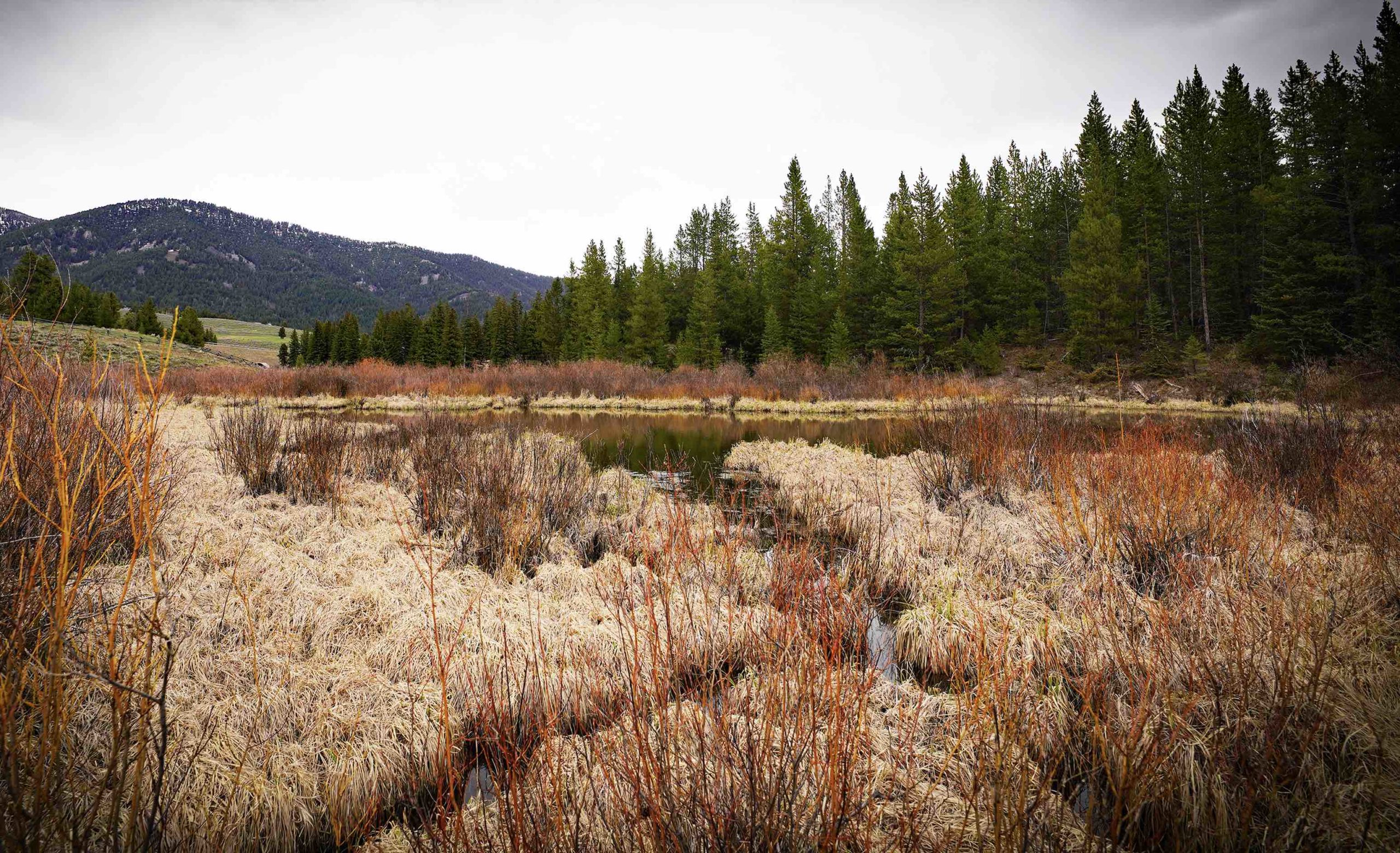
With at least 100 named mountain ranges and sub-ranges in Montana, all with their own indefinable characteristics, the Gravelly Range has one of the most unique profiles. A view from most places in the upper reaches in all compass directions gives the range one of its most distinctive traits. Leading up to high rolling plateaus, access roads into the Gravelly are surrounded by prominent geographical features that populate the surrounding region.
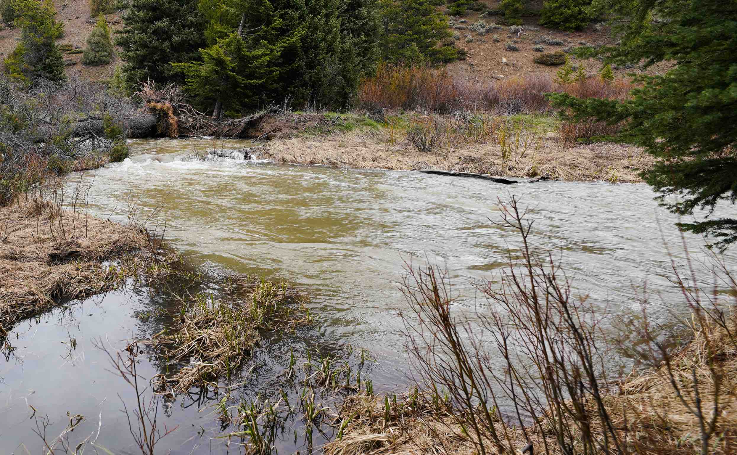
Receiving its name due to the range’s composition of pebble-like rocks resembling gravel, the Gravelly mountains are located in the Beaverhead-Deerlodge National Forest. They span 310,000 acres and border the Madison River Valley on the east, the Ruby River Canyon to the west, Centennial Valley on the south and the Greenhorn Range touches its northern reach.
Black Butte, its highest point, stands 10,542 feet tall. Other prominent peaks include Big Horn Mountain (10,275 feet), Baldy (9,600 feet) and Gold Butte (7,280 feet), to name a few. This often-forgotten mountain range holds diverse landscapes, wide-open subalpine grasslands, coniferous forests and when in season, wildflowers of every color of the rainbow. Blooming encompasses 250 different wildflower, shrubs and grass species and begins in late June and runs through July.
Not only known for its incredible flower display and splendid views but owing to light foot traffic and little road access, the range is also recognized as superb habitat for a wide array of wildlife. Their upland region is home to elk, grizzly bears, moose, tiger salamanders and bald eagles.
Accessible by forestry roads, the Gravelly Range Road provides access to hiking and plenty of opportunities to pause and take in the tranquil beauty of these mountains.
Madison Range
By Haley Houghteling and Chloe Nogaret

Located in the Northern Rocky Mountains of southwest Montana, the Madison Range extends over 80 miles north to south and 25 miles east to west. The Gallatin Canyon and Gallatin River form its eastern boundary and the Madison Valley and Madison River the west. Jack Creek drainage in the Big Sky Resort area separates the range from the Spanish Peaks, often called a sub-range of the Madison. Abruptly ending on the south, the slopes touch Madison Canyon and Hebgen and Quake lakes.
It holds some of the wildest and most rugged landscapes in the Beaverhead-Deerlodge and Gallatin national forests.
Geologically the range is part of basin and range topography: lofty mountains separated by wide sage brush filled valleys, typical of the topography found in this part of the state.
Madison Limestone more resistant to weathering and erosion than many softer rocks composes many of the cliffs and ridges found throughout the range. Most of the other rocks are also of sedimentary origin, although some of the peaks have igneous cores.
A still-active fault is found on the west side of the uplift. Fifty million years ago the Madison Range rose on this fracture. These mountains then can be considered a block fault structure. Almost its entire western face is marked by alluvial fans sprawling outward from each canyon.
Within the range, the highest and most prominent summit is Hilgard Peak measuring over 11,321 feet. Hilgard is also the loftiest pinnacle in Montana outside of the Beartooth Range. However, multiple other prominent peaks such as Koch Peak (11,293 feet), Echo Peak (11,260 feet), Imp Peak (11,202 feet), and Lone Mountain (11,166 feet) also scrape the sky.


In honor of the late U.S. Sen. Lee Metcalf of Montana, Congress established the 259,000-acre Lee Metcalf Wilderness in November of 1983 as part of the National Wilderness Preservation System. Rather than one contiguous area, four units were created, two in the Spanish Peaks and two in the Madison Range. Other non-wilderness segments were assigned Wildlife Management zones.
These mountains were included in the Louisiana Purchase that in 1803 ceded an enormous swath of land west of the Mississippi River to the new nation, doubling its size. In July of 1805 upon reaching the Three Forks of today and the formation of the Missouri River, Cpts. Meriwether Lewis and William Clark named one of the forks Madison River in honor of James Madison. Madison was Secretary of State under President Thomas Jefferson, and Jefferson secured the sale. It can be assumed that later in time the range took on the same name as the area was explored further.
In terms of recreation, the Madison Range is just one out of the 100 mountain ranges in Montana, however the vast land of the Madison Range offers some of Montana’s finest hiking, with an extensive network of trails looping through lakes, streams, canyons and open valleys. Bear Trap Canyon Trail, for example, hugs the eastern shore of the Madison River and winds through the 6,000-acre canyon amidst plummeting rock cliffs.
Additionally, the range is also home to Big Sky Resort, one of the biggest resorts in the country with around 5,800 acres of skiable land.
The Spanish Peaks
By Kate King and Gus Hammond

Often called a sub-range of the more extensive Madison Range, the Spanish Peaks rise between Bozeman and Ennis and cover 327 square miles and average 8,441 feet in elevation. Jack Creek drainage separates them on the southwest from the Madison Range. One can only wonder why they are called a sub-range when their rocks are quite different, consisting of much older Precambrian metamorphic rock formations instead of the mostly younger sediments of the Madison Range.
Extending 25 miles northeast to southeast, the very narrow Gallatin Canyon separates the peaks from the Gallatin Range to the east. Spanish Creek Valley and the Flying D Ranch flank their northern perimeter, and the west slopes drop sharply to the Madison Valley and the Madison River. Ranging from 6,000 feet above sea level to 11,015 feet, Gallatin Peak is the highest point in the range. The peaks rose from a fault trending southeast to northeast that originated in the Gallatin Range. They get their jagged topography from extensive alpine glaciation.

It is unknown where these rugged peaks got their name. Still, it is thought that they were named after Spanish prospectors who came into Montana from Mexican territory. As Crow Indian legend has it, they were named after a group of Spanish fur trappers who camped in the Gallatin Canyon around 1836. Today, the Spanish Peaks are widely known for their beautiful appearance, recreational opportunities and as an outlet for people to explore some of the southwestern corners of Montana’s high country.
Many trails allow for easy access to these ice-sculpted pinnacles. Popular trailheads are Spanish Creek passage on the north through Mirror Lake, and south of the Spanish Peaks at Bear Basin. Deer Creek above the Gallatin River is also well used. Another primary entrance into the mountains is Beehive Basin.
A 76,000-acre segment of the four-unit, 259,000-acre Lee Metcalf Wilderness claims territory in the Spanish Peaks. Numerous creeks flow throughout the Spanish Peaks. Deer Creek and Spanish Creek are significant contributors to the Gallatin River. There are other small waterways throughout, but these have the most significant impact on the river. The Spanish Peaks are beautiful mountains that must be explored.